AIN combines satellite imagery, parcel intelligence, modeled land-condition indicators, and drone-ready verification workflows to help organizations monitor risk, prioritize action, and document outcomes across land-adjacent assets.
Land-Risk Indicators
Pilot Brief
Organizations that manage, finance, insure, or oversee land-adjacent assets face the same problem: records are fragmented, field visits are expensive, and decisions need evidence. AIN turns remote observations into decision-ready intelligence — showing where risk is emerging, where verification is needed, and where action should be prioritized.
Select your use case. The same intelligence layer, tuned to how you manage, finance, insure, or steward land-adjacent assets.
Monitor land condition, vegetation risk, and stewardship outcomes across farm, ranch, conservation, and institutional land portfolios.
AIN helps utilities prioritize vegetation, easement, access, fire/fuel, and renewable-site risks across distributed infrastructure corridors.
AIN helps lenders and insurers monitor land-condition risk before it becomes collateral impairment, claim exposure, or valuation loss.
AIN helps conservation programs, NRDs, public agencies, and land managers document land treatment, stewardship actions, and modeled land-condition outcomes.
AIN is developing a sensing-to-decision platform that fuses satellite imagery, drone verification, parcel intelligence, modeled indicators, and feedback loops to improve how land-condition risk is measured, prioritized, and documented.
Land-condition decisions often rely on fragmented imagery, periodic field visits, delayed reporting, and disconnected parcel records. AIN is developing a repeatable architecture for converting remote observations into verified, decision-ready intelligence.
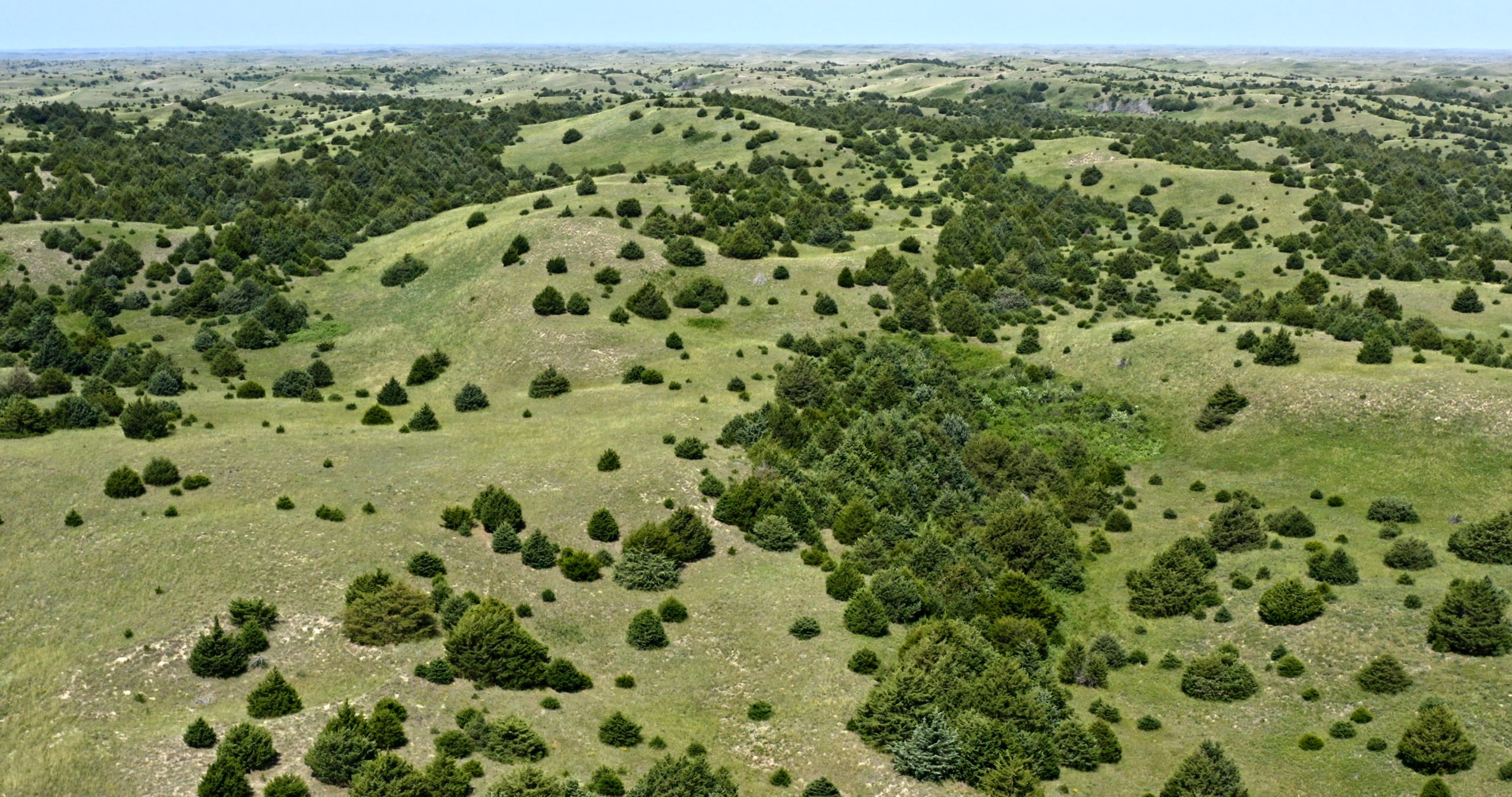
AIN turns remote observations into operational decisions — from woody encroachment and grazing risk to utility-corridor vegetation, renewable-site conditions, collateral exceptions, and stewardship evidence.
Continuously review satellite, parcel, terrain, infrastructure, and land-condition data across selected geographies.
Rank parcels, corridors, and sites by risk indicators, change signals, confidence, and operational relevance.
Route high-priority exceptions into drone-ready or field-ready verification workflows.
Produce decision briefs, evidence packages, and land-condition records that support operational, financial, compliance, and stewardship decisions.
Behind the workflow is an adaptive sensing architecture designed to fuse remote observations, uncertainty scoring, verification feedback, and decision-ready outputs.
AIN converts geospatial data into decision-ready intelligence products that show what changed, why it matters, what needs verification, and what action should be considered next.
A parcel-level summary of vegetation, land-condition, access, and risk indicators.
A utility or infrastructure corridor report showing vegetation, fuel, access, and verification priorities.
A portfolio-level view of land-condition risk across farms, ranches, conservation acres, or institutional holdings.
A lender- or insurer-facing brief identifying parcels with potential collateral, access, vegetation, or exposure concerns.
An evidence package showing before/after conditions, treatment status, modeled indicators, and verification needs.
A ranked list of sites recommended for drone, field, or operator review.
An example land-condition brief: woody encroachment flagged on a managed-acre portfolio and prioritized for field verification.
Remote monitoring of vegetation, surface change, access exposure, erosion indicators, and site condition.
Portfolio-level intelligence for land managers, institutional owners, ranch portfolios, and conservation managers.
Right-of-way, easement, renewable-site, and corridor-risk intelligence for utilities and infrastructure operators.
Parcel-level risk intelligence for lenders, insurers, MGAs, reinsurers, and asset-backed portfolios.
Before/after documentation and modeled outcome evidence for conservation, land-treatment, and public programs.
A record of observed conditions, actions taken, verification results, and status changes over time.
AIN provides modeled indicators, remote observations, confidence scoring, and verification-ready intelligence. Final treatment, lending, insurance, compliance, and regulatory decisions remain with the responsible organization and should be supported by appropriate field, legal, financial, or agency review when required.
Select a portfolio, corridor, county, service territory, or parcel group. AIN will produce a pilot intelligence brief identifying priority sites, risk indicators, verification candidates, and recommended next actions.
Portfolio risk brief, treatment priority list, verification queue.
Corridor risk brief, vegetation/fuel watchlist, drone-ready inspection candidates.
Parcel exception brief, collateral risk indicators, priority review list.
Before/after evidence package, modeled condition indicators, verification record.
Tell us about your organization and the area you'd like assessed. We'll follow up to scope a pilot brief.